Clay Lane Vicinity, Newark-on-Trent, Notts.
Introduction
The photograph on this page of Clay Lane Vicinity, Newark-on-Trent, Notts. by David Hallam-Jones as part of the Geograph project.
The Geograph project started in 2005 with the aim of publishing, organising and preserving representative images for every square kilometre of Great Britain, Ireland and the Isle of Man.

There are currently over 7.5m images from over 14,400 individuals and you can help contribute to the project by visiting https://www.geograph.org.uk
Clay Lane Vicinity, Newark-on-Trent, Notts.
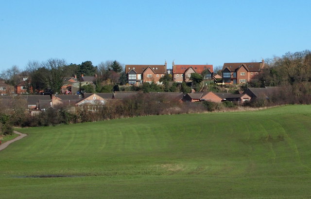
Image: © David Hallam-Jones Taken: 25 Feb 2016
A view from nearby Clay Lane railway bridge with houses in the distance on Beacon Hill. The footpath seen here links Clay Lane and Beacon Hill, crossing as it does the following residential areas: Side Row, Old Mill Crescent and Top Row.
Images are licensed for reuse under creativecommons.org/licenses/by-sa/2.0
Image Location
Latitude
53.073935
Longitude
-0.790937