River Lee Navigation at Bromley-by-Bow
Introduction
The photograph on this page of River Lee Navigation at Bromley-by-Bow by Jim Osley as part of the Geograph project.
The Geograph project started in 2005 with the aim of publishing, organising and preserving representative images for every square kilometre of Great Britain, Ireland and the Isle of Man.

There are currently over 7.5m images from over 14,400 individuals and you can help contribute to the project by visiting https://www.geograph.org.uk
River Lee Navigation at Bromley-by-Bow
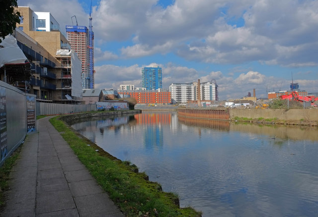
Image: © Jim Osley Taken: 24 Feb 2016
The development of East London continues at a relentless pace. For example, the left of the image is the site of Bow River Village, now under construction.
Images are licensed for reuse under creativecommons.org/licenses/by-sa/2.0
Image Location
Latitude
51.52874
Longitude
-0.009408