Sunderland Town Moor
Introduction
The photograph on this page of Sunderland Town Moor by Oliver Dixon as part of the Geograph project.
The Geograph project started in 2005 with the aim of publishing, organising and preserving representative images for every square kilometre of Great Britain, Ireland and the Isle of Man.

There are currently over 7.5m images from over 14,400 individuals and you can help contribute to the project by visiting https://www.geograph.org.uk
Sunderland Town Moor
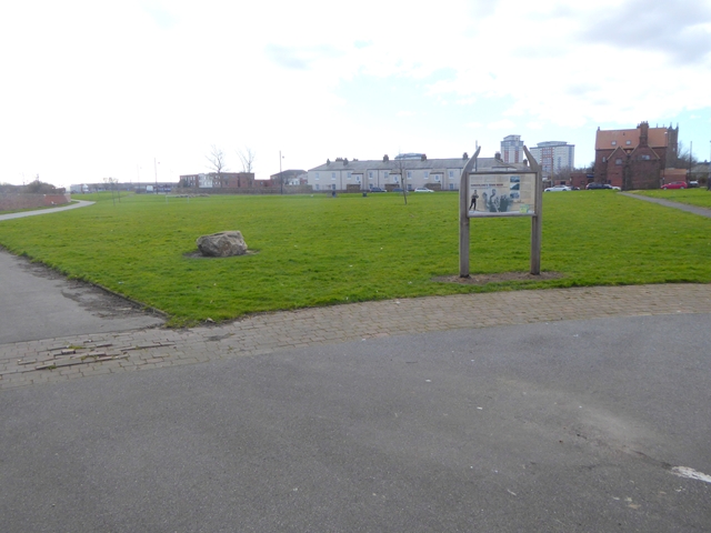
Image: © Oliver Dixon Taken: 23 Feb 2016
Open space in the north-east of the City. The England Coast Path National Trail follows the path on the left. The interpretive board gives a brief history of the Moor in the 17th to 19th centuries.
Images are licensed for reuse under creativecommons.org/licenses/by-sa/2.0
Image Location
Latitude
54.909118
Longitude
-1.365947