Noble's Quay, Sunderland
Introduction
The photograph on this page of Noble's Quay, Sunderland by Oliver Dixon as part of the Geograph project.
The Geograph project started in 2005 with the aim of publishing, organising and preserving representative images for every square kilometre of Great Britain, Ireland and the Isle of Man.

There are currently over 7.5m images from over 14,400 individuals and you can help contribute to the project by visiting https://www.geograph.org.uk
Noble's Quay, Sunderland
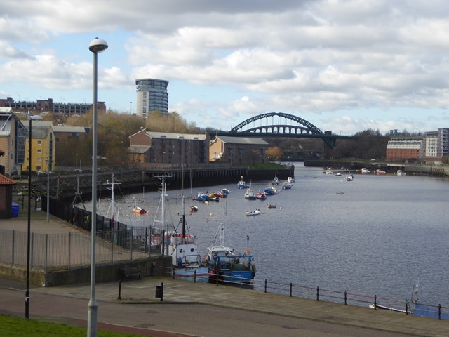
Image: © Oliver Dixon Taken: 23 Feb 2016
View from High Street East. The yellow building is Wylam Wharf Image Upstream can be seen the steel arches of the Wearmouth Road and Rail Bridges Image
Images are licensed for reuse under creativecommons.org/licenses/by-sa/2.0
Image Location
Latitude
54.910042
Longitude
-1.370768