The end of Edward Street
Introduction
The photograph on this page of The end of Edward Street by Gerald England as part of the Geograph project.
The Geograph project started in 2005 with the aim of publishing, organising and preserving representative images for every square kilometre of Great Britain, Ireland and the Isle of Man.

There are currently over 7.5m images from over 14,400 individuals and you can help contribute to the project by visiting https://www.geograph.org.uk
The end of Edward Street
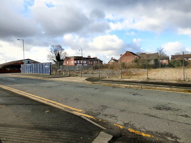
Image: © Gerald England Taken: 22 Feb 2016
Approaching the junction with Hyde Road. A new link road is being built which will terminate here.
Images are licensed for reuse under creativecommons.org/licenses/by-sa/2.0
Image Location
Latitude
53.456383
Longitude
-2.109144