Barley above Thruxton
Introduction
The photograph on this page of Barley above Thruxton by Andrew Smith as part of the Geograph project.
The Geograph project started in 2005 with the aim of publishing, organising and preserving representative images for every square kilometre of Great Britain, Ireland and the Isle of Man.

There are currently over 7.5m images from over 14,400 individuals and you can help contribute to the project by visiting https://www.geograph.org.uk
Barley above Thruxton
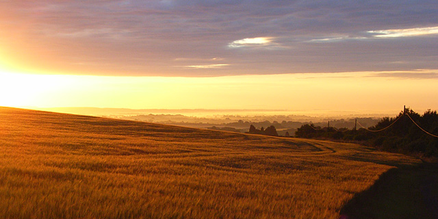
Image: © Andrew Smith Taken: 28 Jun 2007
Looking down over Andover at sunrise from a track to the north of the A303.
Images are licensed for reuse under creativecommons.org/licenses/by-sa/2.0
Image Location


Leaflet Map data © OpenStreetMap
Latitude
51.196467
Longitude
-1.640736