Northern Slopes of Castle Hill
Introduction
The photograph on this page of Northern Slopes of Castle Hill by Nigel Mykura as part of the Geograph project.
The Geograph project started in 2005 with the aim of publishing, organising and preserving representative images for every square kilometre of Great Britain, Ireland and the Isle of Man.

There are currently over 7.5m images from over 14,400 individuals and you can help contribute to the project by visiting https://www.geograph.org.uk
Northern Slopes of Castle Hill
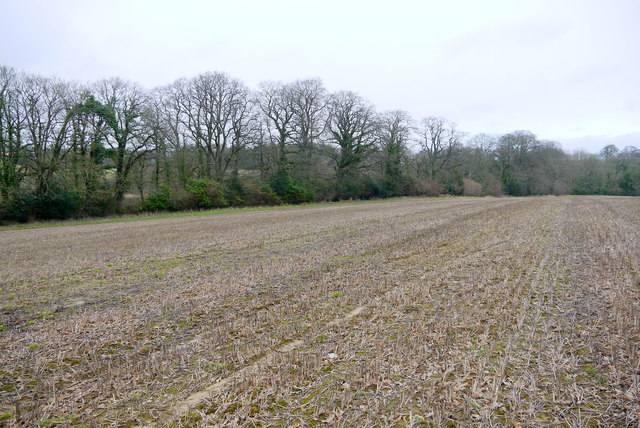
Image: © Nigel Mykura Taken: 19 Feb 2016
This large field of wheat stubble sits between the hill and the strip of woodland known as Shippen Lee Goil.
Images are licensed for reuse under creativecommons.org/licenses/by-sa/2.0
Image Location


Leaflet Map data © OpenStreetMap
Latitude
50.897078
Longitude
-2.826667