View over fields towards the M61
Introduction
The photograph on this page of View over fields towards the M61 by Adam C Snape as part of the Geograph project.
The Geograph project started in 2005 with the aim of publishing, organising and preserving representative images for every square kilometre of Great Britain, Ireland and the Isle of Man.

There are currently over 7.5m images from over 14,400 individuals and you can help contribute to the project by visiting https://www.geograph.org.uk
View over fields towards the M61
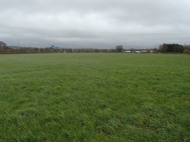
Image: © Adam C Snape Taken: 21 Feb 2016
The blue signs in the distance are on the M61 motorway. The buildings visible in the distance are Grey Gables Farm in Image
Images are licensed for reuse under creativecommons.org/licenses/by-sa/2.0
Image Location
Latitude
53.730461
Longitude
-2.644158