The A84 at Raploch
Introduction
The photograph on this page of The A84 at Raploch by M J Richardson as part of the Geograph project.
The Geograph project started in 2005 with the aim of publishing, organising and preserving representative images for every square kilometre of Great Britain, Ireland and the Isle of Man.

There are currently over 7.5m images from over 14,400 individuals and you can help contribute to the project by visiting https://www.geograph.org.uk
The A84 at Raploch
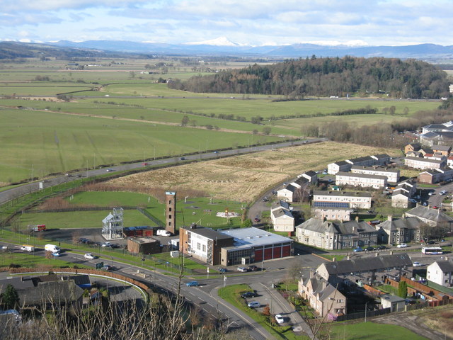
Image: © M J Richardson Taken: 23 Feb 2016
Looking down from the Nether Bailey of Stirling Castle to Raploch Road and the fire station. The woodland is at Craigforth, just beyond the M9, with Ben Lomond on the distant skyline, about 43km away.
Images are licensed for reuse under creativecommons.org/licenses/by-sa/2.0
Image Location
Latitude
56.125588
Longitude
-3.954203