Back Lane Lampeter
Introduction
The photograph on this page of Back Lane Lampeter by Nigel Mykura as part of the Geograph project.
The Geograph project started in 2005 with the aim of publishing, organising and preserving representative images for every square kilometre of Great Britain, Ireland and the Isle of Man.

There are currently over 7.5m images from over 14,400 individuals and you can help contribute to the project by visiting https://www.geograph.org.uk
Back Lane Lampeter
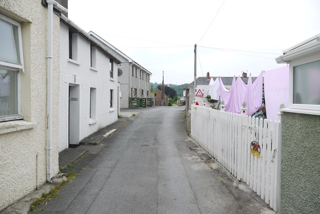
Image: © Nigel Mykura Taken: 1 Jul 2015
This narrow lane runs from Drovers Rd down to Teifi Terrace. Although there are one or two small cottages on this lane , there are several garages belonging to houses in New St.
Images are licensed for reuse under creativecommons.org/licenses/by-sa/2.0
Image Location
Latitude
52.111611
Longitude
-4.079016