Dynevor Arms, Tirphil
Introduction
The photograph on this page of Dynevor Arms, Tirphil by Jaggery as part of the Geograph project.
The Geograph project started in 2005 with the aim of publishing, organising and preserving representative images for every square kilometre of Great Britain, Ireland and the Isle of Man.

There are currently over 7.5m images from over 14,400 individuals and you can help contribute to the project by visiting https://www.geograph.org.uk
Dynevor Arms, Tirphil
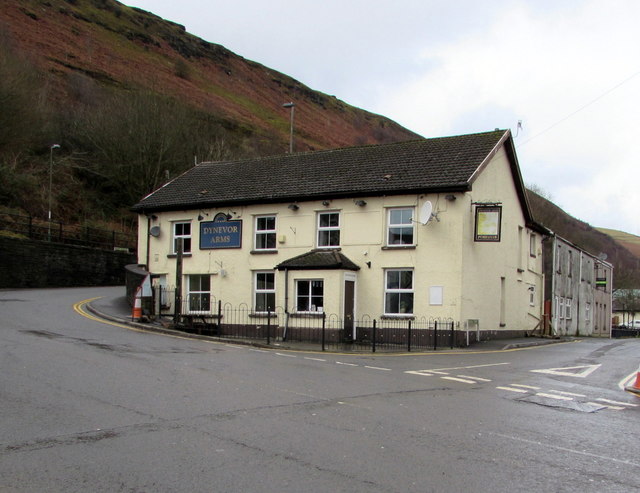
Image: © Jaggery Taken: 28 Jan 2016
Pub located in The Square, Tirphil, viewed across the A4049. School Street is on the right.
Images are licensed for reuse under creativecommons.org/licenses/by-sa/2.0
Image Location
Latitude
51.721258
Longitude
-3.246969