Footpath along the backs of houses on Rossefield Grove
Introduction
The photograph on this page of Footpath along the backs of houses on Rossefield Grove by Stephen Craven as part of the Geograph project.
The Geograph project started in 2005 with the aim of publishing, organising and preserving representative images for every square kilometre of Great Britain, Ireland and the Isle of Man.

There are currently over 7.5m images from over 14,400 individuals and you can help contribute to the project by visiting https://www.geograph.org.uk
Footpath along the backs of houses on Rossefield Grove
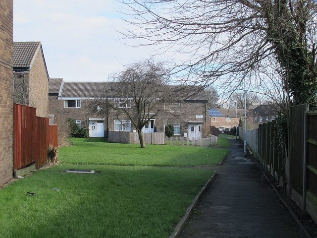
Image: © Stephen Craven Taken: 14 Feb 2016
Comparison with old maps shows that this route follows an old field boundary, though any right of way would appear to be a matter of customary use since the estate was built.
Images are licensed for reuse under creativecommons.org/licenses/by-sa/2.0
Image Location
Latitude
53.80739
Longitude
-1.629292