The Anglo Saxon Burial ground.
Introduction
The photograph on this page of The Anglo Saxon Burial ground. by Carol Rose as part of the Geograph project.
The Geograph project started in 2005 with the aim of publishing, organising and preserving representative images for every square kilometre of Great Britain, Ireland and the Isle of Man.

There are currently over 7.5m images from over 14,400 individuals and you can help contribute to the project by visiting https://www.geograph.org.uk
The Anglo Saxon Burial ground.
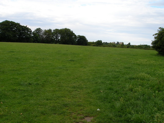
Image: © Carol Rose Taken: 1 Jul 2007
Excavated in 1984, this cemetery yielded 120 burials with grave goods. It was in use between 550AD and 610AD.
Images are licensed for reuse under creativecommons.org/licenses/by-sa/2.0
Image Location
Latitude
54.595789
Longitude
-1.307056