View across the field in the direction of the M6/M61 junction
Introduction
The photograph on this page of View across the field in the direction of the M6/M61 junction by Adam C Snape as part of the Geograph project.
The Geograph project started in 2005 with the aim of publishing, organising and preserving representative images for every square kilometre of Great Britain, Ireland and the Isle of Man.

There are currently over 7.5m images from over 14,400 individuals and you can help contribute to the project by visiting https://www.geograph.org.uk
View across the field in the direction of the M6/M61 junction
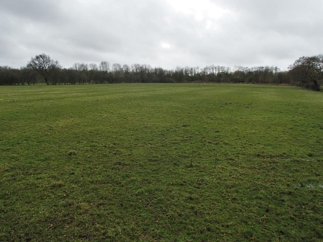
Image: © Adam C Snape Taken: 21 Feb 2016
It looks like a scene of pastoral serenity, but the noise alerts walkers to the fact that just beyond the end of this field are the M6 and M61 motorways. Prior to them being built it was possible to walk from here to Brown Lane, Bamber Bridge. A public footpath still technically extends along the other side of the field boundary on the right of this picture, but it leads only to the end of the field.
Images are licensed for reuse under creativecommons.org/licenses/by-sa/2.0
Image Location


Leaflet Map data © OpenStreetMap
Latitude
53.734938
Longitude
-2.647258