Footpath to Friesland Close, Worcester
Introduction
The photograph on this page of Footpath to Friesland Close, Worcester by P L Chadwick as part of the Geograph project.
The Geograph project started in 2005 with the aim of publishing, organising and preserving representative images for every square kilometre of Great Britain, Ireland and the Isle of Man.

There are currently over 7.5m images from over 14,400 individuals and you can help contribute to the project by visiting https://www.geograph.org.uk
Footpath to Friesland Close, Worcester
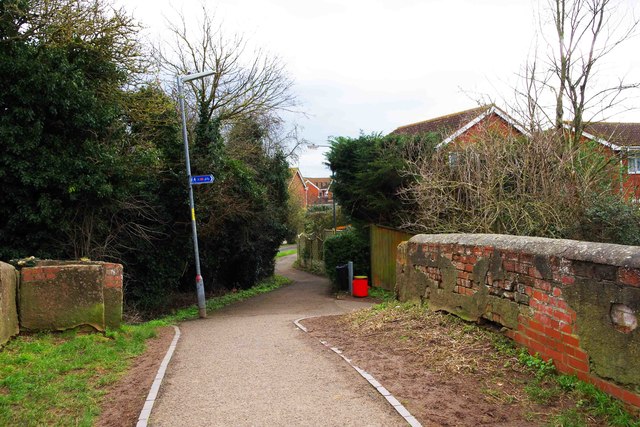
Image: © P L Chadwick Taken: 21 Feb 2016
This footpath crosses the Worcester & Birmingham Canal by bridge no. 16 and is seen here on its way to Friesland Close, part of a modern housing estate. The red bin is for dog waste.
Images are licensed for reuse under creativecommons.org/licenses/by-sa/2.0
Image Location
Latitude
52.214724
Longitude
-2.206911