Path leading under railway line
Introduction
The photograph on this page of Path leading under railway line by Lairich Rig as part of the Geograph project.
The Geograph project started in 2005 with the aim of publishing, organising and preserving representative images for every square kilometre of Great Britain, Ireland and the Isle of Man.

There are currently over 7.5m images from over 14,400 individuals and you can help contribute to the project by visiting https://www.geograph.org.uk
Path leading under railway line
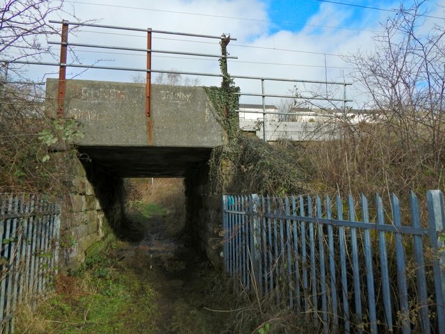
Image: © Lairich Rig Taken: 10 Feb 2016
As shown on the map, a path leads along the eastern side of the sewage works, passing the entrance (Image) and then, as shown here, heading underneath a railway line. The path is a local core path, the Shore Circular Path.
Images are licensed for reuse under creativecommons.org/licenses/by-sa/2.0
Image Location
Latitude
55.947065
Longitude
-4.602987