Culvert for stream under road near Mill Farm
Introduction
The photograph on this page of Culvert for stream under road near Mill Farm by Roger Templeman as part of the Geograph project.
The Geograph project started in 2005 with the aim of publishing, organising and preserving representative images for every square kilometre of Great Britain, Ireland and the Isle of Man.

There are currently over 7.5m images from over 14,400 individuals and you can help contribute to the project by visiting https://www.geograph.org.uk
Culvert for stream under road near Mill Farm
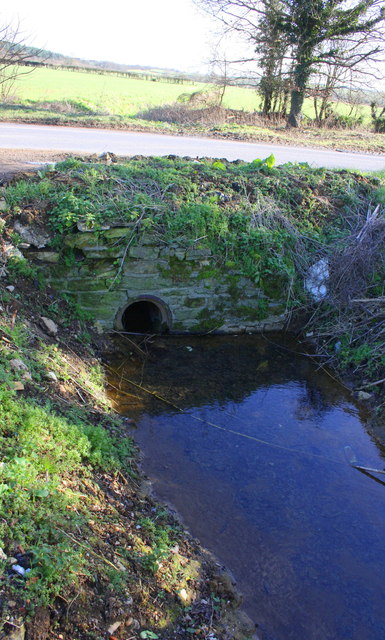
Image: © Roger Templeman Taken: 15 Feb 2016
A footpath runs along the side of the stream to Pinsley Wood
Images are licensed for reuse under creativecommons.org/licenses/by-sa/2.0
Image Location
Latitude
51.818622
Longitude
-1.370468