The end of Windsor Road
Introduction
The photograph on this page of The end of Windsor Road by Hugh Venables as part of the Geograph project.
The Geograph project started in 2005 with the aim of publishing, organising and preserving representative images for every square kilometre of Great Britain, Ireland and the Isle of Man.

There are currently over 7.5m images from over 14,400 individuals and you can help contribute to the project by visiting https://www.geograph.org.uk
The end of Windsor Road
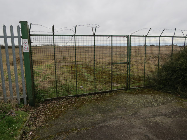
Image: © Hugh Venables Taken: 20 Feb 2016
With little happening, see Image from three years previously.
Images are licensed for reuse under creativecommons.org/licenses/by-sa/2.0
Image Location
Latitude
52.223115
Longitude
0.104664