Bristol to Bath Cycle Path
Introduction
The photograph on this page of Bristol to Bath Cycle Path by Linda Bailey as part of the Geograph project.
The Geograph project started in 2005 with the aim of publishing, organising and preserving representative images for every square kilometre of Great Britain, Ireland and the Isle of Man.

There are currently over 7.5m images from over 14,400 individuals and you can help contribute to the project by visiting https://www.geograph.org.uk
Bristol to Bath Cycle Path
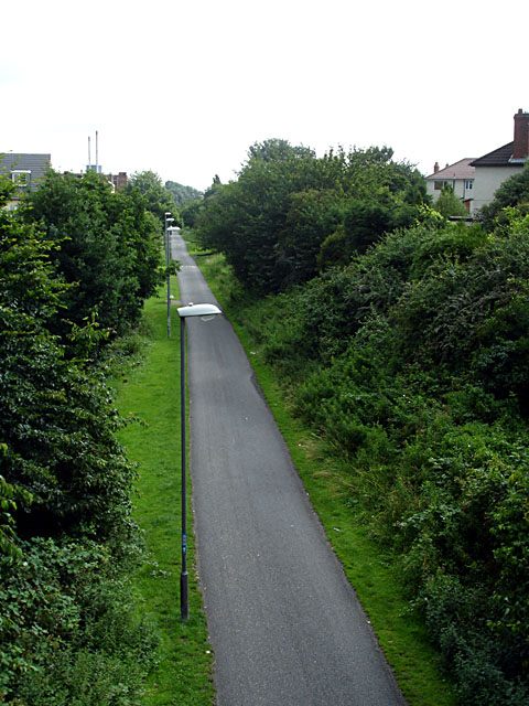
Image: © Linda Bailey Taken: 1 Jul 2007
Looking down on the Bristol to Bath cycle path, which was the first cycle route created by Sustrans (which celebrates its 30th birthday in July 2007). Taken looking down from the bridge on Devon Road in Easton. Compare the sky with one taken the opposite direction just before Image
Images are licensed for reuse under creativecommons.org/licenses/by-sa/2.0
Image Location
Latitude
51.464546
Longitude
-2.557039