Pill Box
Introduction
The photograph on this page of Pill Box by Anne Burgess as part of the Geograph project.
The Geograph project started in 2005 with the aim of publishing, organising and preserving representative images for every square kilometre of Great Britain, Ireland and the Isle of Man.

There are currently over 7.5m images from over 14,400 individuals and you can help contribute to the project by visiting https://www.geograph.org.uk
Pill Box
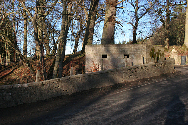
Image: © Anne Burgess Taken: 18 Feb 2016
Presumably dating from the second world war and intended to protect the bridge over the River Urie.
Images are licensed for reuse under creativecommons.org/licenses/by-sa/2.0
Image Location
Latitude
57.274892
Longitude
-2.36167