Killingholme Power Station
Introduction
The photograph on this page of Killingholme Power Station by Paul Harrop as part of the Geograph project.
The Geograph project started in 2005 with the aim of publishing, organising and preserving representative images for every square kilometre of Great Britain, Ireland and the Isle of Man.

There are currently over 7.5m images from over 14,400 individuals and you can help contribute to the project by visiting https://www.geograph.org.uk
Killingholme Power Station
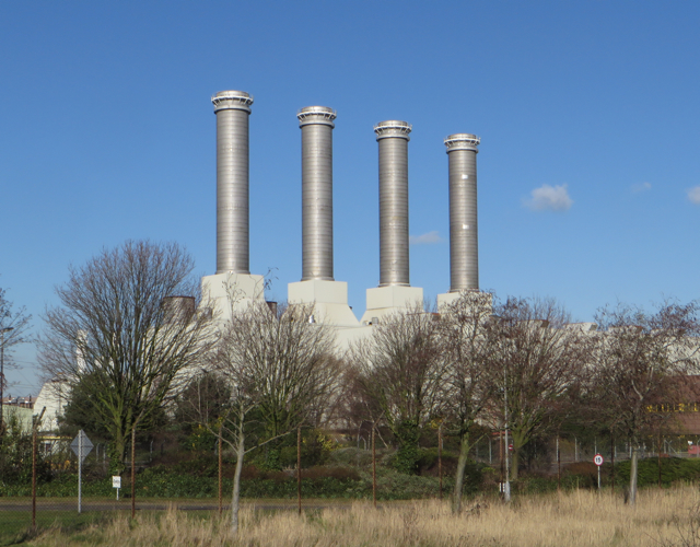
Image: © Paul Harrop Taken: 18 Feb 2016
One of two closed-cycle gas turbine power stations on the site, this one designated 'Killingholme B'. The site is due to close at the end of this month (February 2016).
Images are licensed for reuse under creativecommons.org/licenses/by-sa/2.0
Image Location
Latitude
53.653155
Longitude
-0.255428