Mill of Bourtie
Introduction
The photograph on this page of Mill of Bourtie by Anne Burgess as part of the Geograph project.
The Geograph project started in 2005 with the aim of publishing, organising and preserving representative images for every square kilometre of Great Britain, Ireland and the Isle of Man.

There are currently over 7.5m images from over 14,400 individuals and you can help contribute to the project by visiting https://www.geograph.org.uk
Mill of Bourtie
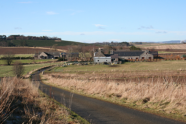
Image: © Anne Burgess Taken: 18 Feb 2016
Like many others around here, the redundant farm steading at Mill of Bourtie has been converted to housing, at a convenient commuting distance from Aberdeen.
Images are licensed for reuse under creativecommons.org/licenses/by-sa/2.0
Image Location
Latitude
57.322272
Longitude
-2.37874