Icy Ruts
Introduction
The photograph on this page of Icy Ruts by Anne Burgess as part of the Geograph project.
The Geograph project started in 2005 with the aim of publishing, organising and preserving representative images for every square kilometre of Great Britain, Ireland and the Isle of Man.

There are currently over 7.5m images from over 14,400 individuals and you can help contribute to the project by visiting https://www.geograph.org.uk
Icy Ruts
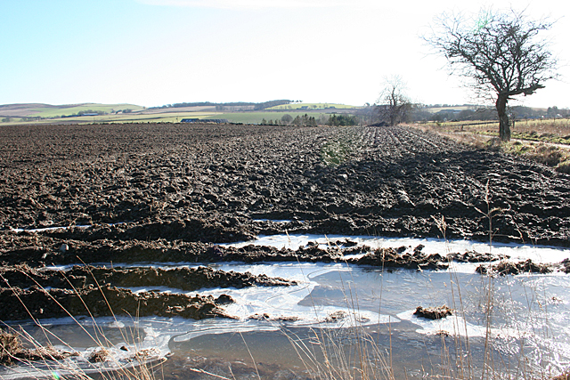
Image: © Anne Burgess Taken: 18 Feb 2016
Just in case anyone is fooled by the green grass and blue skies in other images taken today, this field near Broom tells the rest of the story: the temperature is barely above freewing, the ground is waterlogged and the standing water is frozen.
Images are licensed for reuse under creativecommons.org/licenses/by-sa/2.0
Image Location
Latitude
57.320441
Longitude
-2.390012