Bilboa
Introduction
The photograph on this page of Bilboa by Anne Burgess as part of the Geograph project.
The Geograph project started in 2005 with the aim of publishing, organising and preserving representative images for every square kilometre of Great Britain, Ireland and the Isle of Man.

There are currently over 7.5m images from over 14,400 individuals and you can help contribute to the project by visiting https://www.geograph.org.uk
Bilboa
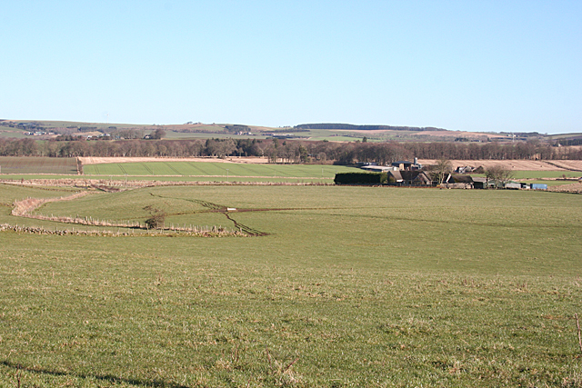
Image: © Anne Burgess Taken: 18 Feb 2016
Flattish farmland near Daviot, and a farm with a curious name, possibly derived from the Gaelic and meaning cattle fold or similar.
Images are licensed for reuse under creativecommons.org/licenses/by-sa/2.0
Image Location
Latitude
57.340163
Longitude
-2.402515