Lawness Barns
Introduction
The photograph on this page of Lawness Barns by Martin Tipper as part of the Geograph project.
The Geograph project started in 2005 with the aim of publishing, organising and preserving representative images for every square kilometre of Great Britain, Ireland and the Isle of Man.

There are currently over 7.5m images from over 14,400 individuals and you can help contribute to the project by visiting https://www.geograph.org.uk
Lawness Barns
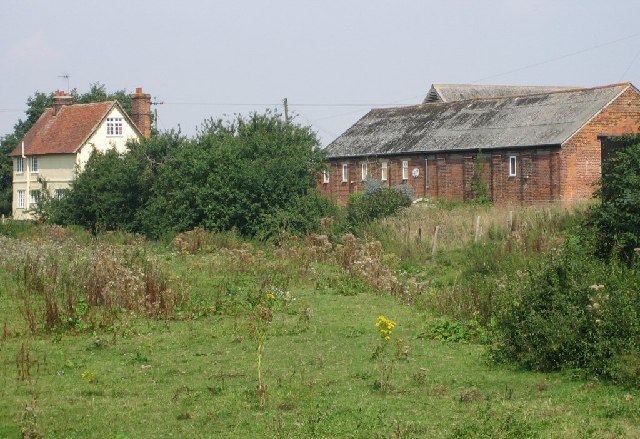
Image: © Martin Tipper Taken: 3 Sep 2005
The farmhouse is many hundreds of years old and with several outbuildings sits alongside a water-meadow on the outskirts of Billericay. Drivers racing along the rat-run to the M25 will probably never even spot it through the trees.
Images are licensed for reuse under creativecommons.org/licenses/by-sa/2.0
Image Location
Latitude
51.642948
Longitude
0.39047