A blocked footpath at Sturminster Newton
Introduction
The photograph on this page of A blocked footpath at Sturminster Newton by David Smith as part of the Geograph project.
The Geograph project started in 2005 with the aim of publishing, organising and preserving representative images for every square kilometre of Great Britain, Ireland and the Isle of Man.

There are currently over 7.5m images from over 14,400 individuals and you can help contribute to the project by visiting https://www.geograph.org.uk
A blocked footpath at Sturminster Newton
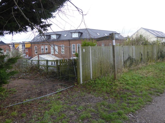
Image: © David Smith Taken: 12 Feb 2016
The sign reads "Jubilee Path Station Road" with symbols of cycle and pedestrian; however the fence is an insuperable obstacle
Images are licensed for reuse under creativecommons.org/licenses/by-sa/2.0
Image Location
Latitude
50.926507
Longitude
-2.300166