Hale Bowling Green
Introduction
The photograph on this page of Hale Bowling Green by Richard Sutcliffe as part of the Geograph project.
The Geograph project started in 2005 with the aim of publishing, organising and preserving representative images for every square kilometre of Great Britain, Ireland and the Isle of Man.

There are currently over 7.5m images from over 14,400 individuals and you can help contribute to the project by visiting https://www.geograph.org.uk
Hale Bowling Green
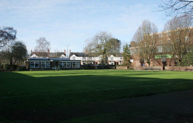
Image: © Richard Sutcliffe Taken: 14 Feb 2016
The pavilion is known as 'The Cottage' and has been a popular place for senior citizens in Hale to meet for tea and coffee, as well as being the base for the bowling club. Plans are being developed to redevelop the building as a new combined Library and Community Hub, to replace the current Hale Library on nearby Leigh Road. This may be completed by 2017.
Images are licensed for reuse under creativecommons.org/licenses/by-sa/2.0
Image Location
Latitude
53.376114
Longitude
-2.345682