Rootfield Farm, Black Isle
Introduction
The photograph on this page of Rootfield Farm, Black Isle by Julian Paren as part of the Geograph project.
The Geograph project started in 2005 with the aim of publishing, organising and preserving representative images for every square kilometre of Great Britain, Ireland and the Isle of Man.

There are currently over 7.5m images from over 14,400 individuals and you can help contribute to the project by visiting https://www.geograph.org.uk
Rootfield Farm, Black Isle
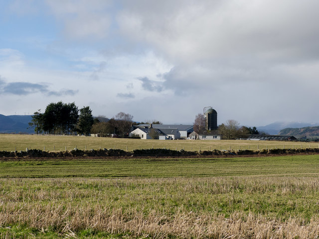
Image: © Julian Paren Taken: 18 Feb 2016
So the farm is identified on the most detailed OS mapping on Geograph.
Images are licensed for reuse under creativecommons.org/licenses/by-sa/2.0
Image Location


Leaflet Map data © OpenStreetMap
Latitude
57.54443
Longitude
-4.410251