Boulders on their way to shore up the line
Introduction
The photograph on this page of Boulders on their way to shore up the line by Richard Hoare as part of the Geograph project.
The Geograph project started in 2005 with the aim of publishing, organising and preserving representative images for every square kilometre of Great Britain, Ireland and the Isle of Man.

There are currently over 7.5m images from over 14,400 individuals and you can help contribute to the project by visiting https://www.geograph.org.uk
Boulders on their way to shore up the line
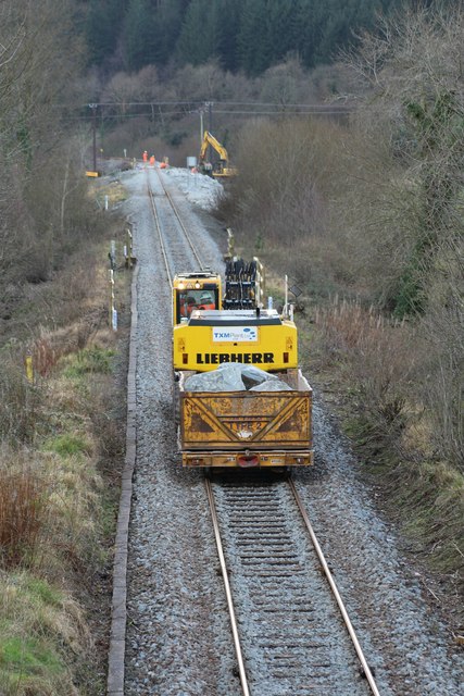
Image: © Richard Hoare Taken: 18 Feb 2016
These have been taken from a stockpile at Llanrwst North. The line has been closed since before Christmas and is unlikely to reopen before the end of February. Image] For an insight into the works and in particular this stretch of the line see https://www.youtube.com/watch?v=wOBjrQnwku4&app=desktop
Images are licensed for reuse under creativecommons.org/licenses/by-sa/2.0
Image Location


Leaflet Map data © OpenStreetMap
Latitude
53.134603
Longitude
-3.79397