To Hazel Manor
Introduction
The photograph on this page of To Hazel Manor by Neil Owen as part of the Geograph project.
The Geograph project started in 2005 with the aim of publishing, organising and preserving representative images for every square kilometre of Great Britain, Ireland and the Isle of Man.

There are currently over 7.5m images from over 14,400 individuals and you can help contribute to the project by visiting https://www.geograph.org.uk
To Hazel Manor
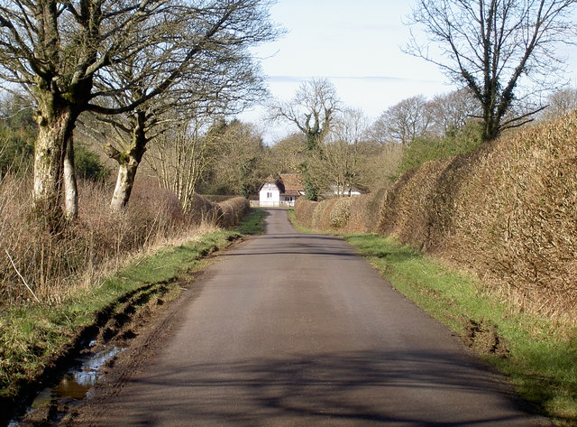
Image: © Neil Owen Taken: 18 Feb 2016
The end of the road (a National Cycle Route) is marked by a large lodge, part of the Hazel Manor. The lodge is an entrance to a larger estate and there was once a gothic stile house here, but it was destroyed by fire in the 1930s. The land around here is now largely forested, although there was a concern in 2008 that the owners, charity Will Woodlands, were restricting access to ramblers.
Images are licensed for reuse under creativecommons.org/licenses/by-sa/2.0
Image Location
Latitude
51.303557
Longitude
-2.682756