Crossroards, Burrowhill
Introduction
The photograph on this page of Crossroards, Burrowhill by Alan Hunt as part of the Geograph project.
The Geograph project started in 2005 with the aim of publishing, organising and preserving representative images for every square kilometre of Great Britain, Ireland and the Isle of Man.

There are currently over 7.5m images from over 14,400 individuals and you can help contribute to the project by visiting https://www.geograph.org.uk
Crossroards, Burrowhill
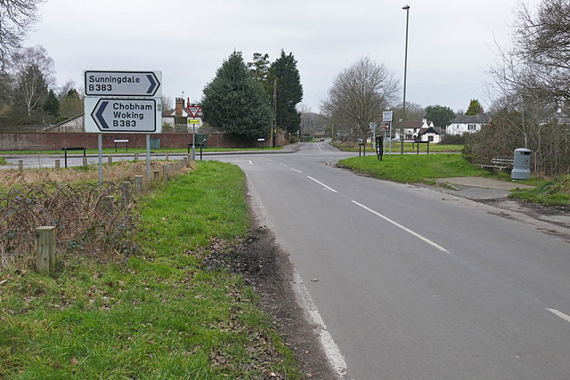
Image: © Alan Hunt Taken: 12 Feb 2016
The crossroads where the Red Lion Road (foreground) and the Windlesham Road (background) meet the Windsor Road.
Images are licensed for reuse under creativecommons.org/licenses/by-sa/2.0
Image Location
Latitude
51.356435
Longitude
-0.606896