Road to Drayton
Introduction
The photograph on this page of Road to Drayton by Nigel Mykura as part of the Geograph project.
The Geograph project started in 2005 with the aim of publishing, organising and preserving representative images for every square kilometre of Great Britain, Ireland and the Isle of Man.

There are currently over 7.5m images from over 14,400 individuals and you can help contribute to the project by visiting https://www.geograph.org.uk
Road to Drayton
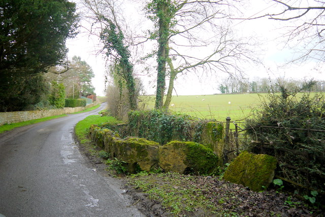
Image: © Nigel Mykura Taken: 12 Feb 2016
The minor road crosses a small stream at this point and the stream is protected by a curve of cut hamstones that allow floodwater to flow back into the stream.
Images are licensed for reuse under creativecommons.org/licenses/by-sa/2.0
Image Location
Latitude
50.943934
Longitude
-2.786931