Broadway Merriot
Introduction
The photograph on this page of Broadway Merriot by Nigel Mykura as part of the Geograph project.
The Geograph project started in 2005 with the aim of publishing, organising and preserving representative images for every square kilometre of Great Britain, Ireland and the Isle of Man.

There are currently over 7.5m images from over 14,400 individuals and you can help contribute to the project by visiting https://www.geograph.org.uk
Broadway Merriot
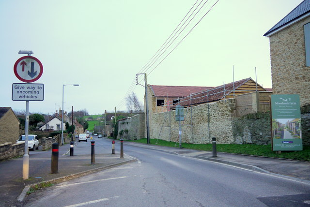
Image: © Nigel Mykura Taken: 30 Jan 2016
This is the main road through the village. On the right is Moorlands Farm which is being developed into a small housing estate with a mix of new build and barn conversions from the old farm buildings. The road has significant traffic calming measures because previously it was a fast straight road.
Images are licensed for reuse under creativecommons.org/licenses/by-sa/2.0
Image Location
Latitude
50.906474
Longitude
-2.794406