Saint Stephen's Court
Introduction
The photograph on this page of Saint Stephen's Court by Stephen Craven as part of the Geograph project.
The Geograph project started in 2005 with the aim of publishing, organising and preserving representative images for every square kilometre of Great Britain, Ireland and the Isle of Man.

There are currently over 7.5m images from over 14,400 individuals and you can help contribute to the project by visiting https://www.geograph.org.uk
Saint Stephen's Court
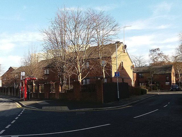
Image: © Stephen Craven Taken: 16 Feb 2016
Off Stoney Rock Lane, Leeds. The development takes its name from the former church of Burmantofts St Stephen that formerly stood on the site (built 1851 and demolished in the 1930s - the parish is still called St Stephen and St Agnes).
Images are licensed for reuse under creativecommons.org/licenses/by-sa/2.0
Image Location
Latitude
53.80099
Longitude
-1.522309