Former police station, Crossgar (February 2016)
Introduction
The photograph on this page of Former police station, Crossgar (February 2016) by Albert Bridge as part of the Geograph project.
The Geograph project started in 2005 with the aim of publishing, organising and preserving representative images for every square kilometre of Great Britain, Ireland and the Isle of Man.

There are currently over 7.5m images from over 14,400 individuals and you can help contribute to the project by visiting https://www.geograph.org.uk
Former police station, Crossgar (February 2016)
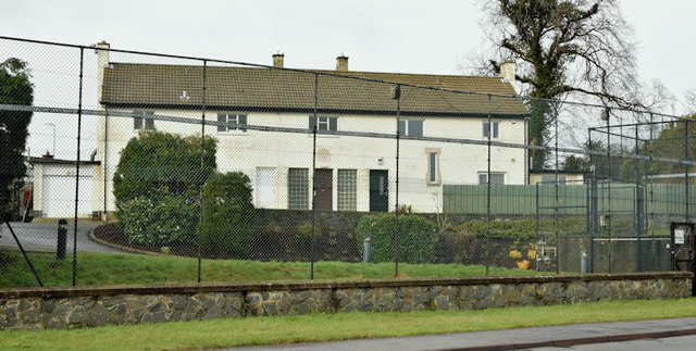
Image: © Albert Bridge Taken: 17 Feb 2016
See Image (June 2013). The building is the subject of the following application for planning permission - 23 October 2015 “LA07/2015/1124/F Change of use of part of former police station offices and former police house accommodation into residential use, with an additional proposed first floor extension on the flat roof of former cells and changing room 6 Saintfield Road Crossgar Downpatrick BT30 9HY”. This photograph appears as a matter of record only and does not express any opinion about the application.
Images are licensed for reuse under creativecommons.org/licenses/by-sa/2.0
Image Location
Latitude
54.398675
Longitude
-5.764687