Newington Road, Sheffield, in 1951
Introduction
The photograph on this page of Newington Road, Sheffield, in 1951 by David Hawgood as part of the Geograph project.
The Geograph project started in 2005 with the aim of publishing, organising and preserving representative images for every square kilometre of Great Britain, Ireland and the Isle of Man.

There are currently over 7.5m images from over 14,400 individuals and you can help contribute to the project by visiting https://www.geograph.org.uk
Newington Road, Sheffield, in 1951
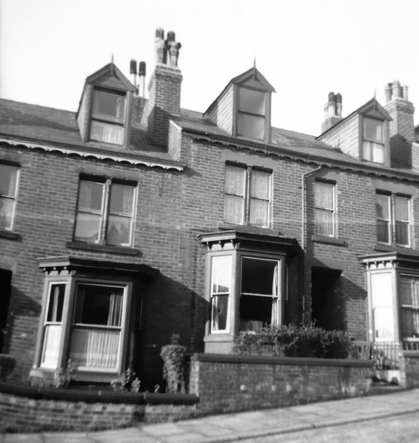
Image: © David Hawgood Taken: Unknown
From help via speculative upload, this is 16 Newington Road and neighbours. When I took the photo a friend from my home village in Worcestershire had relatives there. I took the photo using an Agfa Isolette, and scanned the negative.
Images are licensed for reuse under creativecommons.org/licenses/by-sa/2.0
Image Location
Latitude
53.36893
Longitude
-1.502806