Sandwich Town cricket pavilion and The Butts
Introduction
The photograph on this page of Sandwich Town cricket pavilion and The Butts by Nick Smith as part of the Geograph project.
The Geograph project started in 2005 with the aim of publishing, organising and preserving representative images for every square kilometre of Great Britain, Ireland and the Isle of Man.

There are currently over 7.5m images from over 14,400 individuals and you can help contribute to the project by visiting https://www.geograph.org.uk
Sandwich Town cricket pavilion and The Butts
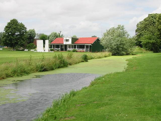
Image: © Nick Smith Taken: 1 Jul 2007
The Butts, this was where men in medieval times had to perform their archery practice. Henry V's archers probably practised here before they sailed to the battle of Agincourt in 1415.
Images are licensed for reuse under creativecommons.org/licenses/by-sa/2.0
Image Location
Latitude
51.276407
Longitude
1.334321