Blocked footpath, Leeds
Introduction
The photograph on this page of Blocked footpath, Leeds by Stephen Craven as part of the Geograph project.
The Geograph project started in 2005 with the aim of publishing, organising and preserving representative images for every square kilometre of Great Britain, Ireland and the Isle of Man.

There are currently over 7.5m images from over 14,400 individuals and you can help contribute to the project by visiting https://www.geograph.org.uk
Blocked footpath, Leeds
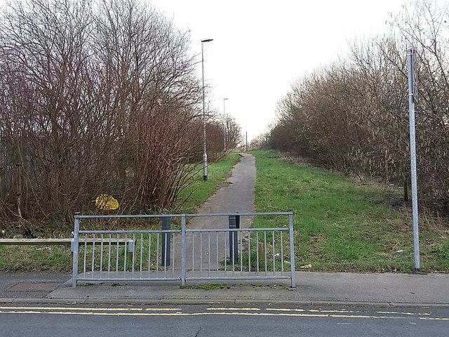
Image: © Stephen Craven Taken: 12 Feb 2016
See Image and Image showing this path in 2013 still open through to Upper Accommodation Road. By 2016 it had been blocked by a security fence. It was probably not a public right of way.
Images are licensed for reuse under creativecommons.org/licenses/by-sa/2.0
Image Location
Latitude
53.795516
Longitude
-1.524496