Rochester Drive
Introduction
The photograph on this page of Rochester Drive by Marathon as part of the Geograph project.
The Geograph project started in 2005 with the aim of publishing, organising and preserving representative images for every square kilometre of Great Britain, Ireland and the Isle of Man.

There are currently over 7.5m images from over 14,400 individuals and you can help contribute to the project by visiting https://www.geograph.org.uk
Rochester Drive
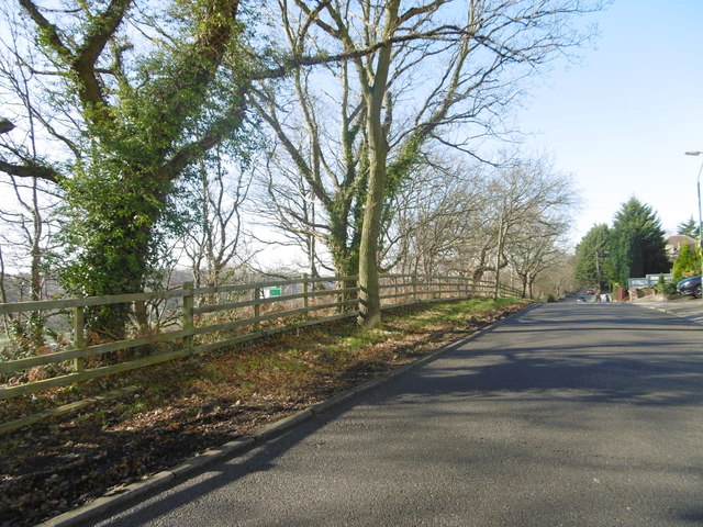
Image: © Marathon Taken: 16 Feb 2016
Although Rochester Drive looks quiet enough, the A2 (East Rochester Way) is just to the left, down the bottom of the slope beyond the trees.
Images are licensed for reuse under creativecommons.org/licenses/by-sa/2.0
Image Location
Latitude
51.448632
Longitude
0.147578