Spitalgate Lane, Cirencester
Introduction
The photograph on this page of Spitalgate Lane, Cirencester by Jaggery as part of the Geograph project.
The Geograph project started in 2005 with the aim of publishing, organising and preserving representative images for every square kilometre of Great Britain, Ireland and the Isle of Man.

There are currently over 7.5m images from over 14,400 individuals and you can help contribute to the project by visiting https://www.geograph.org.uk
Spitalgate Lane, Cirencester
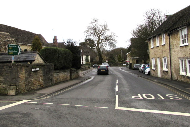
Image: © Jaggery Taken: 10 Feb 2016
From the Dollar Street junction. Spitalgate Lane leads to the A435, the road to Cheltenham. The sign on the left shows that this is also the way to Gloucester, via the A417.
Images are licensed for reuse under creativecommons.org/licenses/by-sa/2.0
Image Location
Latitude
51.720051
Longitude
-1.969842