Allt yr Ystrad - Coniferous/Deciduous Woodland Split
Introduction
The photograph on this page of Allt yr Ystrad - Coniferous/Deciduous Woodland Split by Bonelli as part of the Geograph project.
The Geograph project started in 2005 with the aim of publishing, organising and preserving representative images for every square kilometre of Great Britain, Ireland and the Isle of Man.

There are currently over 7.5m images from over 14,400 individuals and you can help contribute to the project by visiting https://www.geograph.org.uk
Allt yr Ystrad - Coniferous/Deciduous Woodland Split
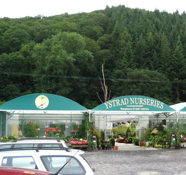
Image: © Bonelli Taken: Unknown
Allt yr Ystrad (wood) beyond Glasshouses (Polytunnels in this case) shown on 1:25,000 o/s . Deciduous woodland on left side, coniferous on right side (shown on O/S maps).
Images are licensed for reuse under creativecommons.org/licenses/by-sa/2.0
Image Location


Leaflet Map data © OpenStreetMap
Latitude
51.98437
Longitude
-3.830059