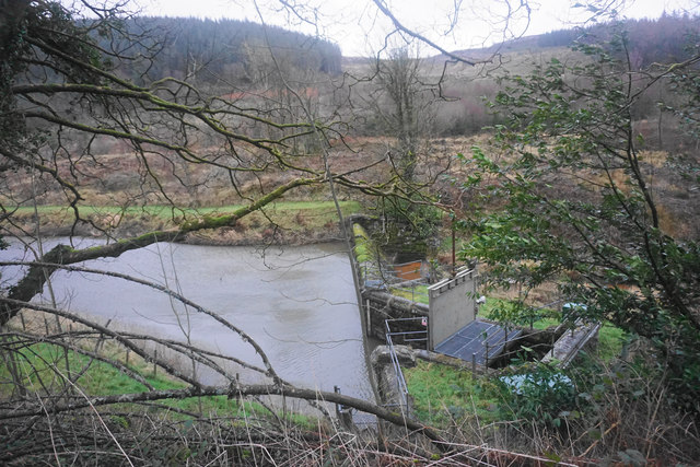
The dam of the Marchant reservoir
Introduction
The photograph on this page of The dam of the Marchant reservoir by Bill Boaden as part of the Geograph project.
The Geograph project started in 2005 with the aim of publishing, organising and preserving representative images for every square kilometre of Great Britain, Ireland and the Isle of Man.
There are currently over 7.5m images from over 14,400 individuals and you can help contribute to the project by visiting https://www.geograph.org.uk

Image: © Bill Boaden Taken: 5 Feb 2016
The water here was part of the Liverpool Corporation Waterworks scheme centred in Lake Vyrnwy. A description of the proposed works was posted in the London Gazette of 18/11/1879: 8. An Aqueduct (to be called the Marchnant Aqueduct) wholly situate in the township of Marchnant and parish of Llanwddyn commencing in the stream known as the Marchnant about 2 chains above a dam or weir to be placed across the said stream at a point, thereon 6 chains or thereabouts in a southerly direction from the farmhouse known as Gwreiddian and terminating in the said intended reservoir at a point 14 chains or thereabouts in a northerly direction from the Cynon Isaf farmhouse aforesaid.

