Looking southwest across Beltinge Road
Introduction
The photograph on this page of Looking southwest across Beltinge Road by John Baker as part of the Geograph project.
The Geograph project started in 2005 with the aim of publishing, organising and preserving representative images for every square kilometre of Great Britain, Ireland and the Isle of Man.

There are currently over 7.5m images from over 14,400 individuals and you can help contribute to the project by visiting https://www.geograph.org.uk
Looking southwest across Beltinge Road
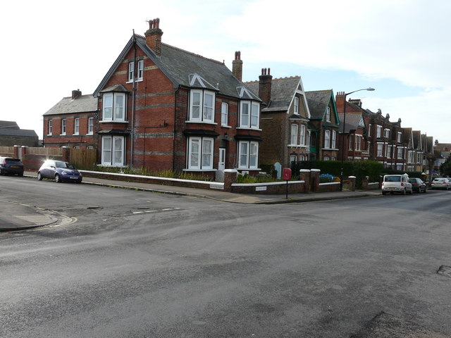
Image: © John Baker Taken: 25 Jan 2016
The building on the corner of Beacon Road is called The Grafton. It stands at number 26 and was a former care home. Planning permission has been granted by Canterbury City Council under application number CA//15/00628 for a “change of use from former care home (Use Class C2) to single family dwelling (Use Class C3)”.
Images are licensed for reuse under creativecommons.org/licenses/by-sa/2.0
Image Location
Latitude
51.370846
Longitude
1.136114