Queen Edith's Way
Introduction
The photograph on this page of Queen Edith's Way by John Sutton as part of the Geograph project.
The Geograph project started in 2005 with the aim of publishing, organising and preserving representative images for every square kilometre of Great Britain, Ireland and the Isle of Man.

There are currently over 7.5m images from over 14,400 individuals and you can help contribute to the project by visiting https://www.geograph.org.uk
Queen Edith's Way
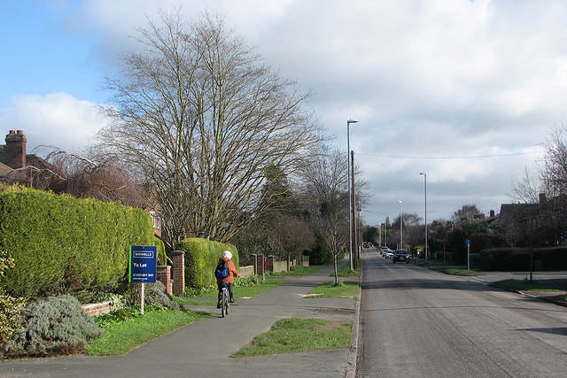
Image: © John Sutton Taken: 15 Feb 2016
Looking towards Cherry Hinton from near the corner of Almoners' Avenue on a February morning which was much brighter than the local weather forecast had advertised.
Images are licensed for reuse under creativecommons.org/licenses/by-sa/2.0
Image Location
Latitude
52.179762
Longitude
0.155128