The Scout hut roof and building is visible mid picture.
Introduction
The photograph on this page of The Scout hut roof and building is visible mid picture. by Carol Rose as part of the Geograph project.
The Geograph project started in 2005 with the aim of publishing, organising and preserving representative images for every square kilometre of Great Britain, Ireland and the Isle of Man.

There are currently over 7.5m images from over 14,400 individuals and you can help contribute to the project by visiting https://www.geograph.org.uk
The Scout hut roof and building is visible mid picture.
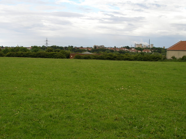
Image: © Carol Rose Taken: 1 Jul 2007
Beyond are signs of the industry around Billingham.
Images are licensed for reuse under creativecommons.org/licenses/by-sa/2.0
Image Location


Leaflet Map data © OpenStreetMap
Latitude
54.595421
Longitude
-1.305669