The Ballygowan Road near Banbridge
Introduction
The photograph on this page of The Ballygowan Road near Banbridge by Albert Bridge as part of the Geograph project.
The Geograph project started in 2005 with the aim of publishing, organising and preserving representative images for every square kilometre of Great Britain, Ireland and the Isle of Man.

There are currently over 7.5m images from over 14,400 individuals and you can help contribute to the project by visiting https://www.geograph.org.uk
The Ballygowan Road near Banbridge
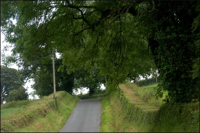
Image: © Albert Bridge Taken: 1 Jul 2007
The Ballygowan Road winds its way from near Loughbrickland towards Banbridge. It passes through drumlin country giving the photo an illusion of being tilted (it’s not). The view is towards Banbridge. This section is still agricultural but for how long?
Images are licensed for reuse under creativecommons.org/licenses/by-sa/2.0
Image Location
Latitude
54.337473
Longitude
-6.317259