Looking west across Margate Road
Introduction
The photograph on this page of Looking west across Margate Road by John Baker as part of the Geograph project.
The Geograph project started in 2005 with the aim of publishing, organising and preserving representative images for every square kilometre of Great Britain, Ireland and the Isle of Man.

There are currently over 7.5m images from over 14,400 individuals and you can help contribute to the project by visiting https://www.geograph.org.uk
Looking west across Margate Road
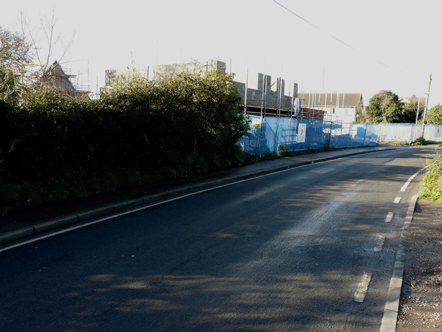
Image: © John Baker Taken: 25 Jan 2016
Planning permission has been granted by Canterbury City Council under application number CA//14/00058 for the “erection of 8 dwellings on the land adjacent to the Huntsman & Horn Public House”. Two of them are visible in this view. Nick Smith’s Image shows the road before any buildings had appeared in the distance.
Images are licensed for reuse under creativecommons.org/licenses/by-sa/2.0
Image Location
Latitude
51.357706
Longitude
1.156478