Thompson Avenue north of Parkfield in Wolverhampton
Introduction
The photograph on this page of Thompson Avenue north of Parkfield in Wolverhampton by Roger D Kidd as part of the Geograph project.
The Geograph project started in 2005 with the aim of publishing, organising and preserving representative images for every square kilometre of Great Britain, Ireland and the Isle of Man.

There are currently over 7.5m images from over 14,400 individuals and you can help contribute to the project by visiting https://www.geograph.org.uk
Thompson Avenue north of Parkfield in Wolverhampton
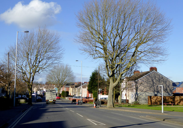
Image: © Roger D Kidd Taken: 11 Feb 2016
This is the A4123 from Birmingham looking north-west towards Wolverhampton city centre. Off to the right is Dixon Street.
Images are licensed for reuse under creativecommons.org/licenses/by-sa/2.0
Image Location
Latitude
52.569326
Longitude
-2.117989