Alness
Introduction
The photograph on this page of Alness by Donald H Bain as part of the Geograph project.
The Geograph project started in 2005 with the aim of publishing, organising and preserving representative images for every square kilometre of Great Britain, Ireland and the Isle of Man.

There are currently over 7.5m images from over 14,400 individuals and you can help contribute to the project by visiting https://www.geograph.org.uk
Alness
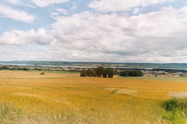
Image: © Donald H Bain Taken: 30 Aug 2004
From the White Hills with Balnaguisich Sand Quarry.
Images are licensed for reuse under creativecommons.org/licenses/by-sa/2.0
Image Location


Leaflet Map data © OpenStreetMap
Latitude
57.704414
Longitude
-4.241946