Cyffordd o heolydd bach / Junction of minor roads
Introduction
The photograph on this page of Cyffordd o heolydd bach / Junction of minor roads by Alan Richards as part of the Geograph project.
The Geograph project started in 2005 with the aim of publishing, organising and preserving representative images for every square kilometre of Great Britain, Ireland and the Isle of Man.

There are currently over 7.5m images from over 14,400 individuals and you can help contribute to the project by visiting https://www.geograph.org.uk
Cyffordd o heolydd bach / Junction of minor roads
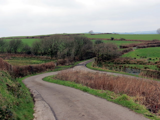
Image: © Alan Richards Taken: 13 Feb 2016
Cyffordd o heolydd bach ar dir uchel o'r enw y Goetre. Junction of minor roads in an upland area known as Goetre (trans. woodland dwelling or homestead).
Images are licensed for reuse under creativecommons.org/licenses/by-sa/2.0
Image Location


Leaflet Map data © OpenStreetMap
Latitude
51.727933
Longitude
-4.088003